The Sky Is the Supply chain: How Kenya Is About to Change Everything ...
Projects

27 Mar

13 Mar
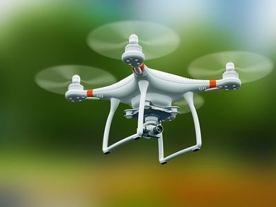
Drone technology has rapidly transformed industries across the world, and Kenya is no exception. From aerial photography and agriculture to surveying and infrastructure inspection, drones are becoming essential tools for modern professionals. As demand for skilled drone operators grows, enrolling in...
13 Mar
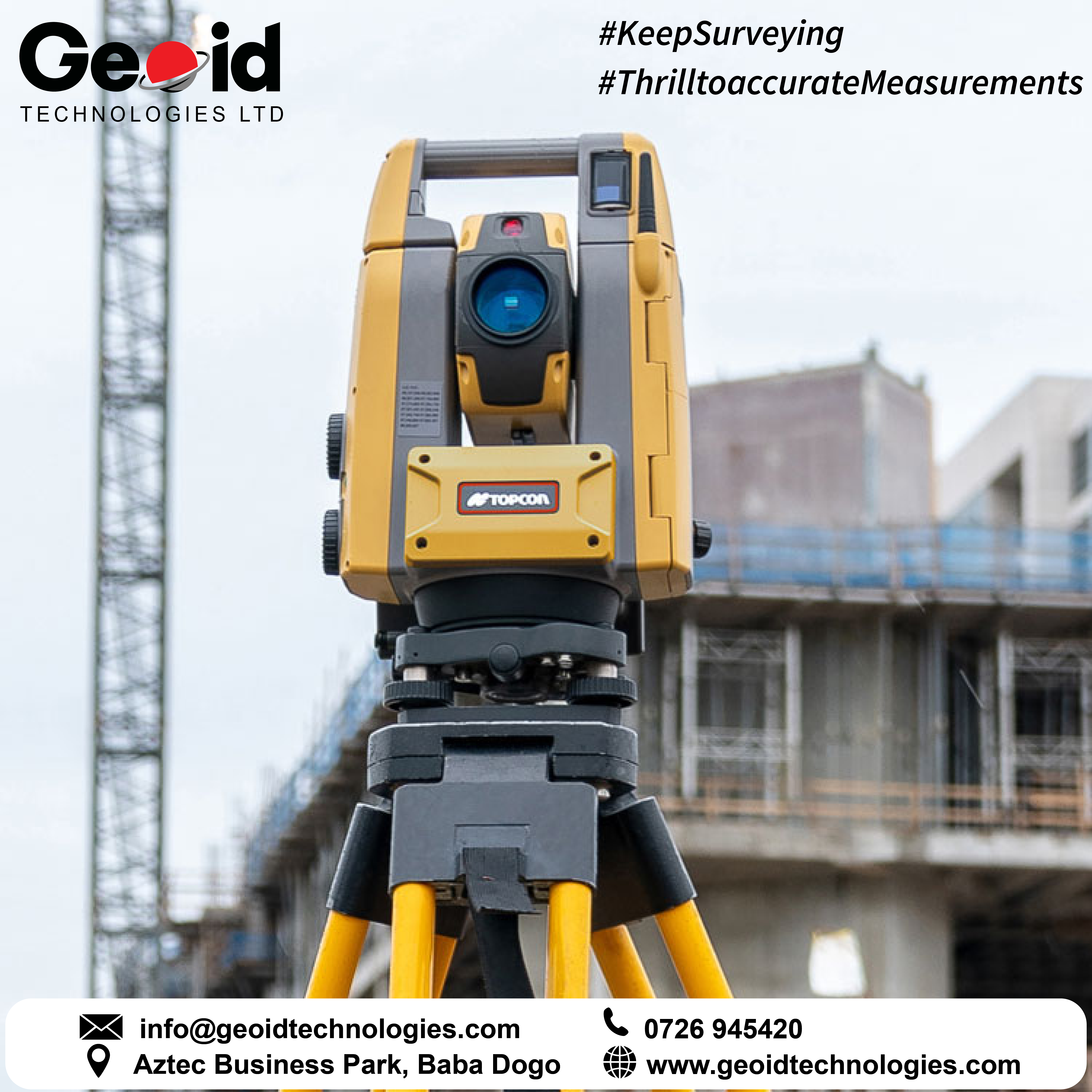
Accurate surveying is the foundation of land development, infrastructure projects, and property management. Survey services in Kenya play a critical role in ensuring that land boundaries are correctly defined, construction projects are properly planned, and spatial data is reliable.With Kenya’s rapi...

13 Mar
The demand for geospatial services in Kenya has grown significantly over the past decade as the country continues to invest in infrastructure, land management, urban development, and environmental conservation. Geospatial technologies allow professionals to collect, analyze, and visualize location-b...
11 Apr
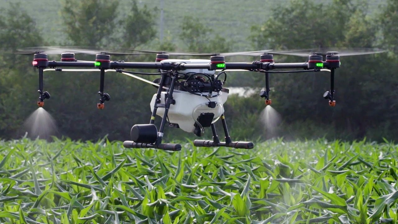
Have you been wondering what the buzz about drones for agriculture is? Why would a person heavily invest in these big flying robots for use in their farms? In this blog post, we help you to uncover some of the answers to these questions. Drones for smart farmingTechnological revolution is upon u...
08 Apr
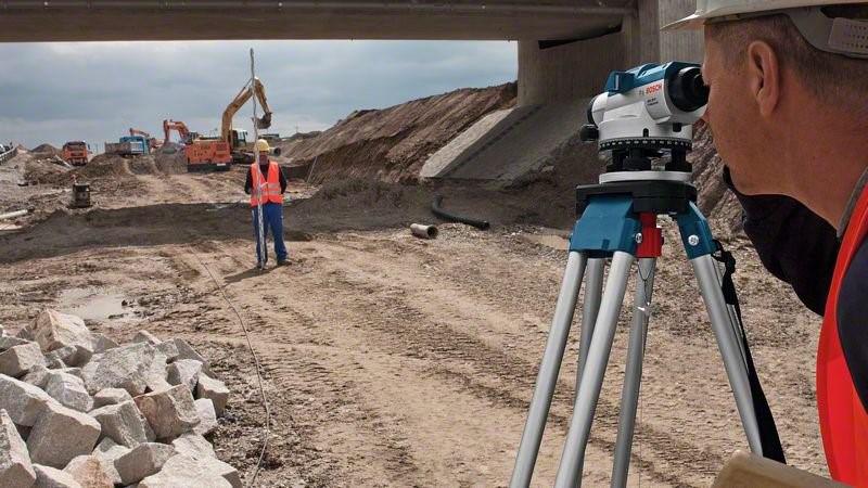
How accurate and precise is your level? here are tests to verify if your level needs calibration or repair.Circular bubble test: Set your instrument on a tripod in an area that is as level as possible. ...
02 Nov