The Sky Is the Supply chain: How Kenya Is About to Change Everything ...
Geoid Technologies News Room

27 Mar

13 Mar
Drone technology has rapidly transformed industries across the world, and Kenya is no exception. From aerial photography and agriculture to surveying and infrastructure inspection, drones are becoming essential tools for modern professionals. As demand for skilled drone operators grows, enrolling in...

13 Mar
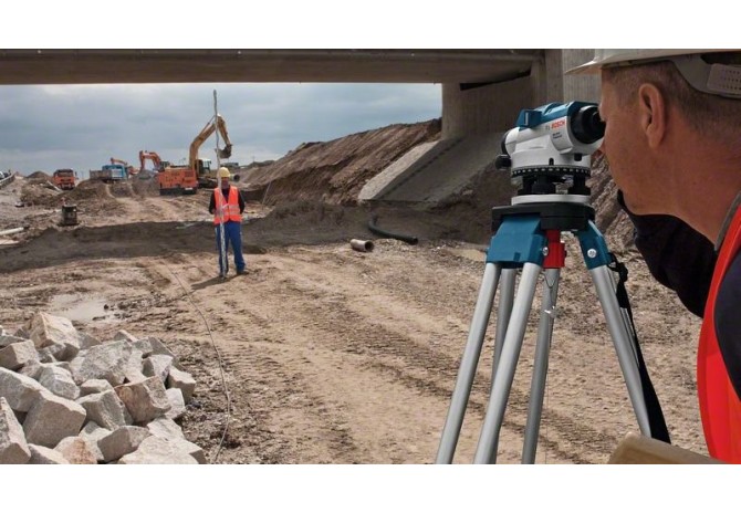
Accurate surveying is the foundation of land development, infrastructure projects, and property management. Survey services in Kenya play a critical role in ensuring that land boundaries are correctly defined, construction projects are properly planned, and spatial data is reliable.With Kenya’s rapi...

13 Mar
The demand for geospatial services in Kenya has grown significantly over the past decade as the country continues to invest in infrastructure, land management, urban development, and environmental conservation. Geospatial technologies allow professionals to collect, analyze, and visualize location-b...
11 Apr
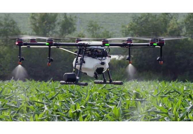
Have you been wondering what the buzz about drones for agriculture is? Why would a person heavily invest in these big flying robots for use in their farms? In this blog post, we help you to uncover some of the answers to these questions. Drones for smart farmingTechnological revolution is upon u...
08 Apr
How accurate and precise is your level? here are tests to verify if your level needs calibration or repair.Circular bubble test: Set your instrument on a tripod in an area that is as level as possible. ...
04 Apr
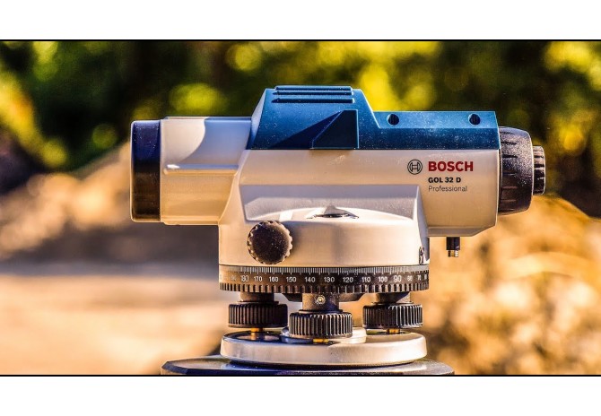
Accuracy is the most key thing a surveyor can consider while choosing the type of level to apply.Bosch GOL 32 D is the level to use.GOL 32D is an optical instrument used to establish and verify points in the same Horizontal plane. It is used in surveying and building construction with a vertical l...
28 Mar
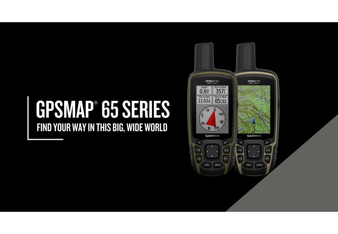
Explore more with this rugged handheld that offers multi-band frequency support for our most accurate position to date, a 2.6” color display and preloaded maps.Don’t miss a detail with this large, sunlight-readable color display.Lead the way in challenging locations with multi-band technology an...
-670x464.jpg)
22 Mar
As the new satellites and new signal bands have been applied continually for GNSS positioning, the amount of data that GNSS receivers need to transmit, receive, and process is much larger than before. Therefore, the amount of power usage becomes a lot more.In most cases you find surveyors are strugg...
18 Jan
Drones and quadcopters are getting more and more popular, and they ’re fairly simple to operate. It’s now easier than ever to get the stunning elevated shots formerly only seen in Hollywood film. ...