Aerial Surveying & Mapping
Geoid Technologies Ltd possess the technology and knowledge to reach even the most inaccessible, inhospitable and dangerous areas. Our honed aerial survey methods enable us to safely assess an area deemed unreachable on foot or by vehicle, providing you with a complete overview of the given area. Whether we use a fixed-wing helicopter or state of the art drone technology, our aerial surveys provide access to difficult places that you require information on. As a team of experienced surveyors who cover multiple disciplines, we have the resources to carry out aerial surveys that capture high-resolution images and detailed survey data.
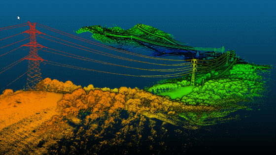
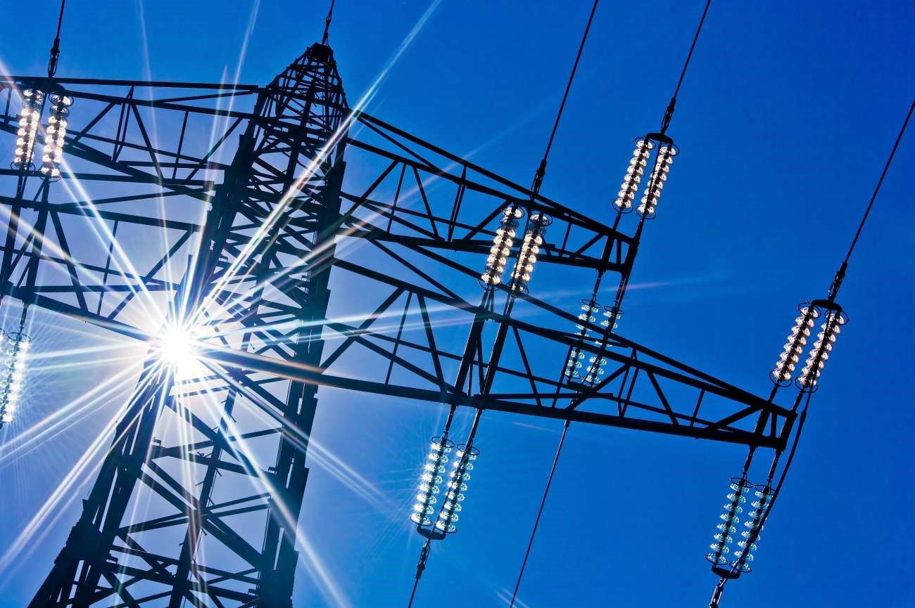
Power line corridor Mapping
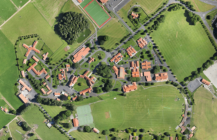
Othomosaic Map
Precision Agriculture
Our agriculture drone services deliver real value by pinpointing ways to reduce crop input and boost yield; at the end of the day we help you produce bigger, better crops and increased profit.
We make it easy for you to access agricultural intelligence. Whether you fly your own agriculture drone in combination with our data processing or choose one of our complete solutions, we’re a perfect fit for your plans.
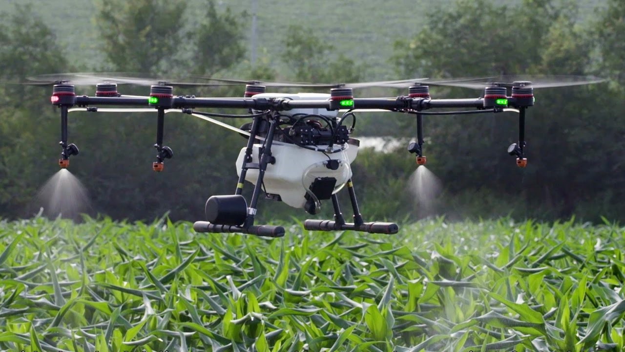
Crop Spraying
Aerial Inspection
Using one or more camera-equipped drones, we can perform fast, accurate, and extremely efficient building and land inspections, creating three-dimensional “geomaps” using topographic and orthomosaic imaging.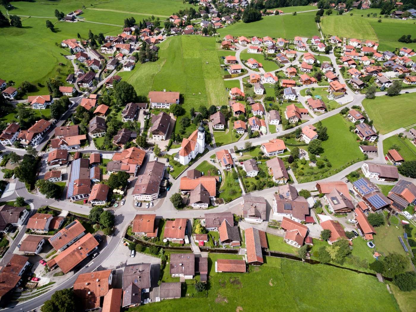
Site inspection
Power line Inspection
Search & Rescue Operation
Whether you are trying to locate Stranded persons, get a complete view of a crime scene from the sky without sending in expensive and time-consuming helicopters, Our Drone Search and Rescue Operation service will keep your team and public safe by utilizing unmanned drones for aerial views and reconnaissance. And will also provide your vital information that you need without ever having to leave the ground.